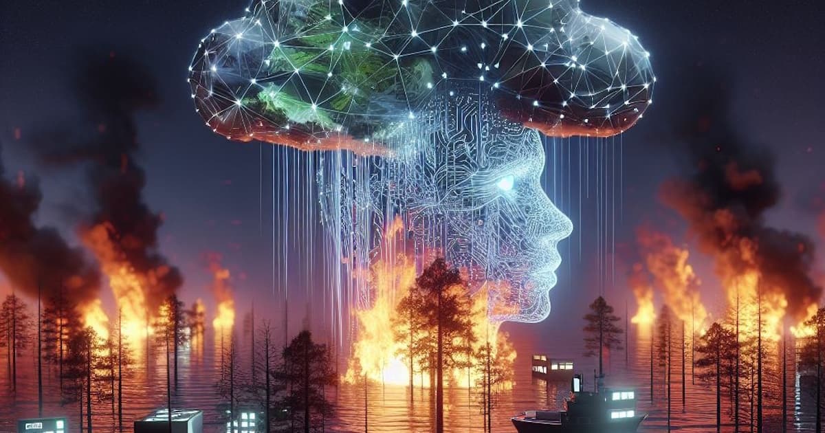
AI Disaster Response: How Algorithms Are Saving Lives in Earthquakes and Floods
AI systems detected the 2023 Turkey earthquake's aftershock pattern 12 hours before the largest aftershock. Flood prediction models in Bangladesh are giving communities 72 hours of advance warning. Satellite imagery AI is locating survivors under rubble faster than search dogs. This is what AI-assisted disaster response looks like in practice.
Manroze
Author
In February 2023, a 7.8 magnitude earthquake struck southern Turkey and northern Syria, killing over 50,000 people. In the aftermath, researchers noted that seismic monitoring AI systems had detected anomalous patterns in the days preceding the earthquake patterns that in retrospect were consistent with the precursor signals of a major seismic event. The detection was not acted on, partly because the confidence threshold for public warning was not met and partly because the institutional infrastructure for translating AI seismic signals into public alerts did not exist. The research question that followed was not whether the AI detected something. It was whether the systems existed to turn AI detection into human response at the speed disasters require. That question the gap between AI detection capability and human response infrastructure is the central challenge of AI-assisted disaster response in 2026. The capability to detect, predict, and model disaster events has improved dramatically. The institutional, political, and logistical infrastructure to act on AI-generated alerts at the speed and scale those alerts enable is still catching up.
Early Warning: Where AI Is Making the Clearest Difference
The domain where AI-assisted disaster response has produced the clearest documented impact on lives saved is early warning systems particularly for floods, cyclones, and tsunamis, where the window between detectable precursor signals and life-threatening conditions is measured in hours to days. Google's DeepMind developed a flood forecasting model called Flood Hub that provides 72-hour advance flood predictions with coverage across 80 countries. The model uses a combination of satellite data, weather forecasts, river gauge readings, and historical flood patterns to produce location-specific flood warnings that allow communities to evacuate, protect property, and pre-position emergency resources before the flood event.In Bangladesh one of the world's most flood-vulnerable countries AI-assisted flood prediction has been integrated into the government's early warning system. Research published in 2024 found that communities receiving 72-hour AI-generated flood warnings showed significantly better evacuation rates and lower mortality compared to communities receiving 24-hour or shorter warnings, with the improvement attributable specifically to the longer lead time that AI predictive models make possible compared to traditional meteorological forecasting. The Global Flood Awareness System (GloFAS), which uses AI-enhanced hydrological modelling, now provides flood forecasting for major river basins globally with lead times of up to 30 days for large-basin flood events.
Search and Rescue: AI Under the Rubble
In earthquake response, the critical metric is time-to-location for survivors trapped under rubble every hour that passes after a building collapse reduces survival probability significantly. AI is being applied to this problem in three ways that are showing documented results. First, satellite and aerial imagery AI: within hours of a major earthquake, satellite imagery can be processed by AI models that identify structural damage patterns and classify building collapse probabilities across large areas, allowing search and rescue teams to prioritise where to deploy rather than systematically covering every damaged structure.Second, acoustic and seismic sensing AI: sensors deployed around a collapse site can detect the acoustic signatures of survivor movement or calls. AI signal processing applied to these sensor feeds can identify survivor location signals that human operators would miss in the noise the equivalent of giving rescue teams a much more sensitive ear. Third, drone-based AI: autonomous drones equipped with thermal imaging and AI object detection can survey collapse sites faster than human teams, identify heat signatures consistent with survivor presence, and relay precise location coordinates to rescue teams without requiring the drone operator to manually review every frame of video.The 2023 Turkey earthquake response saw the first large-scale deployment of AI-assisted search and rescue in a major urban earthquake event. International rescue teams used satellite damage assessment AI to prioritise deployment in the first 72 hours. The teams reported that the AI prioritisation reduced the time spent on structures with low survival probability and increased the rate of survivor extraction in the critical first days.
Climate Modelling and Long-Term Risk Assessment
Beyond immediate disaster response, AI is transforming the longer-term assessment of disaster risk that determines where communities should be built, where infrastructure should be invested, and what adaptation strategies are most cost-effective. Traditional climate and hazard modelling required months of compute time for high-resolution simulations. AI-enhanced modelling using neural networks trained on high-resolution historical climate data to rapidly generate ensemble predictions can produce comparable resolution outputs in days, enabling faster iteration on adaptation planning scenarios.The Intergovernmental Panel on Climate Change (IPCC) incorporated AI-assisted climate modelling in its Sixth Assessment Report, noting that AI-enhanced downscaling of global climate models to regional resolution had significantly improved the ability to assess local flood, drought, and extreme weather risk. For countries in South Asia where monsoon variability, glacial retreat, and sea-level rise interact in complex ways to determine disaster risk AI-enhanced regional climate modelling is providing planners with better tools for anticipating and preparing for the specific hazard patterns they face.
The Gap: Detection Capability vs. Response Infrastructure
The consistent finding across AI disaster response applications is that the technology for detecting and predicting disaster events is advancing faster than the institutional infrastructure for acting on that detection at the required speed and scale. An AI system that detects a 72-hour flood warning for a community that has no functioning early warning communication system, no pre-planned evacuation routes, and no emergency supply positioning protocol has produced information that cannot be converted into lives saved.The most effective AI disaster response deployments are the ones embedded in pre-existing emergency management institutions with clear protocols for receiving AI-generated alerts, communicating them to affected populations, and coordinating the response resources that the alerts trigger. Bangladesh's flood warning integration works because it is built into a government disaster management system with field extension workers in vulnerable communities, not because the AI alone is sufficient. This is the pattern that AI disaster response advocates argue for: AI as a force multiplier for existing institutional capacity, not as a substitute for the institutional capacity that most disaster-vulnerable communities lack.

Related articles
View all → Autonomous Coordination
The Rise of Autonomous Enterprise Coordination Platforms
Enterprise coordination the alignment of people, processes, information, and resources across organisational boundaries has always been expensive, slow, and error-prone when managed through human intermediaries alone. Autonomous coordination platforms powered by AI are replacing the coordination overhead of large organisations with intelligent systems that synchronise the enterprise continuously and without manual intervention.
 AI Agents
How AI Agents Are Transforming Enterprise Workflow Intelligence
AI agents autonomous systems that perceive their environment, reason about objectives, and take action across enterprise workflows are moving from research concept to operational reality. The enterprises deploying AI agents at scale are discovering that workflow intelligence is not just about automation it is about creating organisational capability that compounds with every cycle.
 AI-Native Infrastructure
Why Global Enterprises Need AI-Native Operational Infrastructure
The operational infrastructure that global enterprises built in the pre-AI era was designed for a different competitive environment. Enterprises that try to layer AI on top of legacy operational infrastructure will capture a fraction of AI's potential. The ones that rebuild their operational foundations as AI-native will gain structural advantages their competitors cannot close.